Pico del Vilo & El Gallo
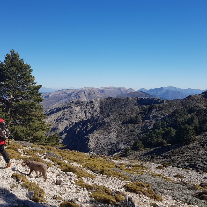
Gary Miles is our resident Axarquia mountain expert. Here we once again turn to him for his guide to one of the area’s most appealingly straightforward climbs: the Pico del Vilo.
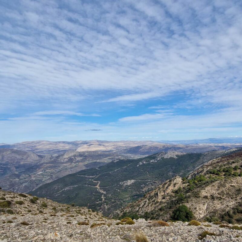
The arrival of the heat of summer to southern Spain doesn’t mean that walking suddenly becomes off-limits. It simply means that certain requirements need to be met.
Firstly, the route should not be too long – two or three hours only. Secondly, there should be some shade on the route, probably a section through a forest. And finally, there should be a bar close at hand when the route is finished.
Pico del Vilo fulfils all these requirements. The route takes somewhere between two and three hours; a large section of it is in a forest; and it starts and ends in the town of Alfarnate where there are plenty of bars.
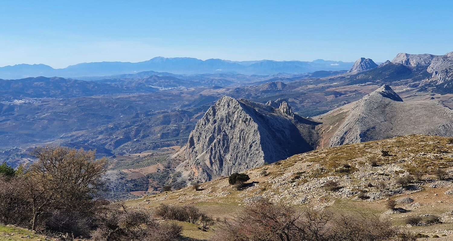
I’ve also included the peak of El Gallo which is over 4,000ft, close to Pico del Vilo and can be bagged through a short diversion on the way down from Pico del Vilo.
Please note, though: while Pico del Vilo is an easy path to follow – probably the easiest proper peak in the Axarquia – on El Gallo there’s no path, and the terrain can be difficult.
For the purposes of clarity I’ve given each waypoint on Pico del Vilo a number and each one on El Gallo a letter.
Pico del Vilo
Waypoint 1: The Football Pitch – 387973 4094615
The town of Alfarnate gives you a great head start given that it stands at 3,000ft.
When you enter the town, head to the south side of the village where the football pitch is. Park on the south side of the pitch.
The path starts up the hill to the south. After 200m you’ll come across a fork in the path. Take the left fork and continue in a westerly direction for 800m until you reach…
Waypoint 2: The Aerials – 387410 4094055
From here the trail turns southeast for the next 2 kilometres until you arrive at…
Waypoint 3: The Fork in the Road – 388639 4092990
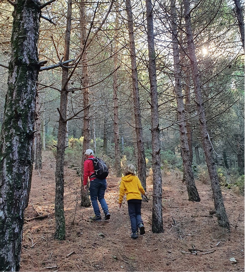
Take the left-hand fork and the road skirts around the valley. After 600m the path enters a large pine forest.
Continue for a further 400m until you reach…
Waypoint 4: The Threshing Circle – 389619 4092652
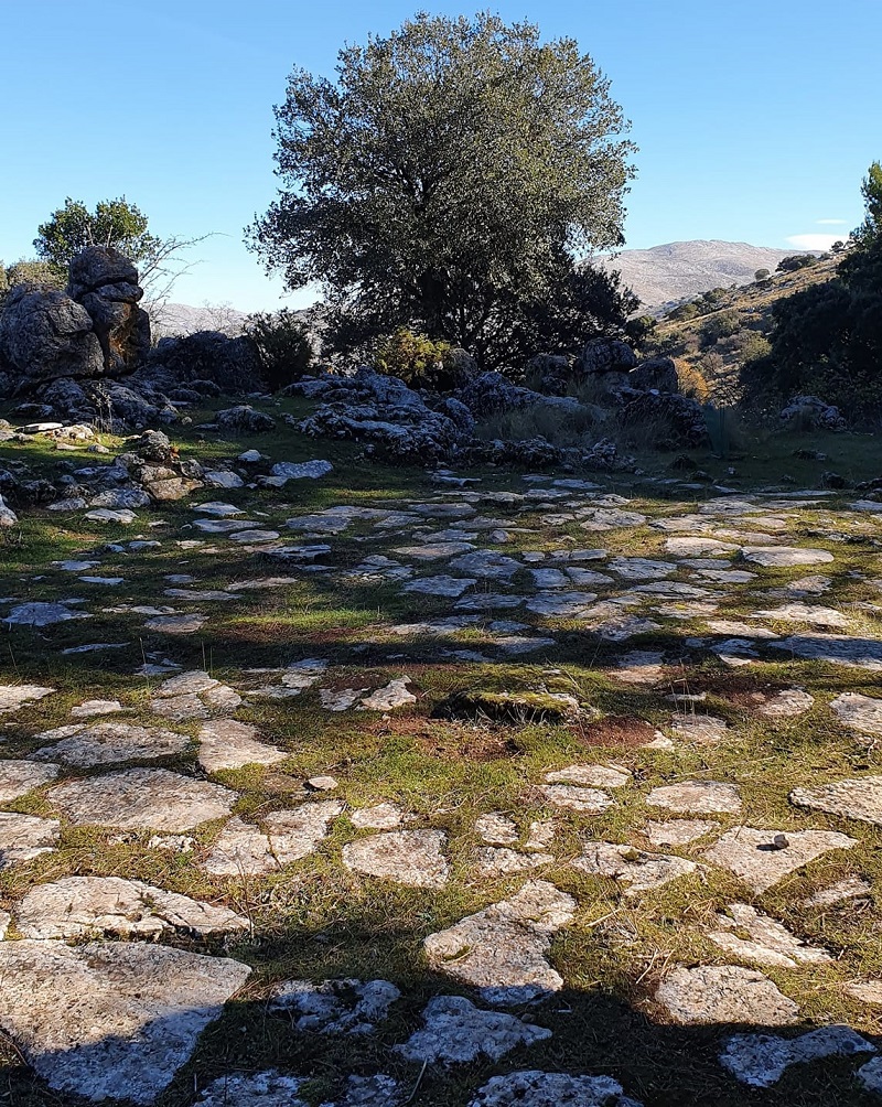
This threshing circle is a good place to stop and sit on a stone and take a drink. It’s also where, on the way back, you leave the trail to take on El Gallo.
The path continues in a south-easterly direction through the forest.
Generally, it’s easy to follow but you can lose the path if you don’t pay attention.
After about 1km you’ll emerge from the forest and the path continues up the hill, past a signpost saying PR A 267 (this route) which says you’re 6 minutes from the peak.
Follow the sign for 200m until you reach…
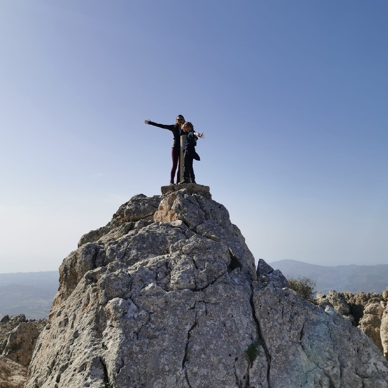
Waypoint 5: Pico del Vilo Summit – 390382 4091889
The peak is a tiny bit of a scramble to a trig point.
The route back to the car is just the ascent in reverse.
Should you wish to take the diversion, and add another peak over 4,000ft to your record, then descend into the forest and stop at…
El Gallo
Waypoint A: The Threshing Circle – 389619 4092652
Please remember that El Gallo is a more difficult proposition than Pico del Vilo. The terrain is more difficult and you might be required to navigate by compass.
The route to El Gallo begins by dropping out of the Threshing Circle on the north side.
You pick your way through some gorse bushes before skirting the hillside on a bearing of 316º for 400m until you reach…
Waypoint B: The Old Village – 389339 4092943
The Old Village is a cluster of ancient houses. Now reduced to rubble, the lines of the walls are still clearly visible.
Leaving the old village, the route picks its way over a rocky hillside on a bearing of 303º for 600m towards the summit.
Waypoint C: El Gallo Summit – 388853 4093260
The north face of El Gallo faces the town of Alfarnate. But don’t be tempted to try a direct route – there’s a dense forest, many rocks, and many fences to contend with.
Instead, drop down a little from the summit on the south side and skirt the top of the forest in a north-easterly direction.
After about 1km drop through the forest and you should find…
Waypoint D: The Forest Wall – 387750 4093909
This is another relic: an old ruined wall that goes through the forest for about 100m.
At the northern end of the road, you’ll find yourself back on the route about 300m southeast of waypoint 2, a short walk away from the car – and the bar.
Looking for another brilliantly accessible peak in the Axarquia? Check out our guide to climbing La Torrecilla.
Share this